(This isn’t finished but I have run out of time – we leave Leh to go trekking for a few days, back on 26th if all goes well. I have forgotten the headline act which is the Zojila Pass – hey ho, can’t write it all)
We didn’t want to fly from Srinigar to Leh for two reasons, neither of them the cost as flying would have been cheaper. First, altitude is a real challenge on a whistle-stop trip like ours and I had no desire to land two kilometres higher than Srinigar in Leh (3500 metres above sea level) and deal with the abrupt lack of oxygen. Second, the 400km road trip inspires awe in the true sense of the word ‘awesome’. Sometimes the journey really is the heart of the journey.
It is not famous of course, not like Route 66 in the USA or Cairo to Cape Town for those with reservoirs of adrenalin, initiative and time, nor, thanks to Instagram, the North Coast 500 in Scotland. But it is one hell of a ride, leaving the treasured Kashmir Valley and heading up into quasi-ski resort territory at Sonamarg and continuing to the sketchy part: the Zojila Pass. From there it is easier rolling to Kargil for the night. Day two follows the fabled Suru then Indus Rivers over cinematic passes, through military checkpoints and allows you to visit some venerated Buddhist monasteries before the triumphant (or do I mean exciting) 20km downhill run into the Leh Valley.
I am not to do a play-by-play account, instead I list some highlights and observations below.
The driving
I know, I know, the grizzled 80s and 90s backpackers will laugh at the conditions today and tell us stories of striving in mud for days on the same roads with a bus powered by two gerbils and a rat, all the time holding onto the axel to keep the wheels from falling off. It is definitely easier today, that is for sure.
But.
But the unique laxative of excitement and terror induced by your driver accelerating into a BLIND CORNER OVERTAKE has not changed, indeed it is a universal human truth that some enjoy these moves and some re-write their wills mid corner. If there were no atheists in the foxholes in Vietnam then I feel some turn more religious on these roads.
That said Javed, our driver for Day One, did notice my grimacing as he pulled a few Top Gun overtakes in the first section of the road to Sonamarg (so British – god forbid I actually asked him to slow down) and he then drove with the sense of self-preservation that we wish upon taxi drivers the world over.
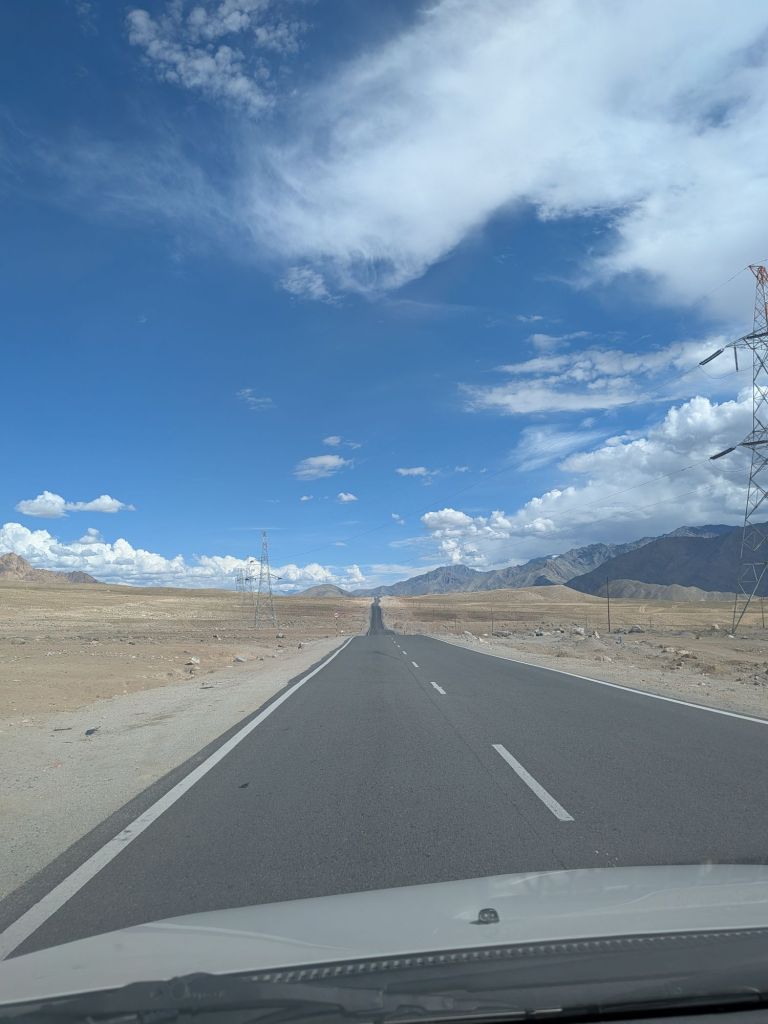
The driving is made easier by the tarmac being better than the roads in Oxfordshire. Let me repeat that – in this region of seismic upheaval (literally the Himalays grow 5mm each year which causes havoc with heaving and land slides) and minus 20 Deg C winters, the tarmc is smoother with fewer potholes. Oxfordshire Country Council I’m looking at you.
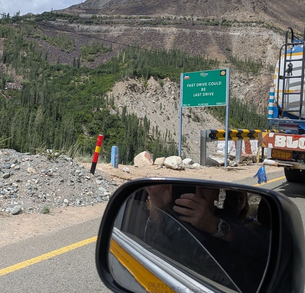
Then we have the unmissable public campaign to slow drivers the hell down. The signs are funny, patronising and misogynistic and occurr roughly every 500 metres. A few examples below but others include DARLING I LOVE YOU BUT ALOW DOWN and DONT GOSSIP LET HIM DRIVE.
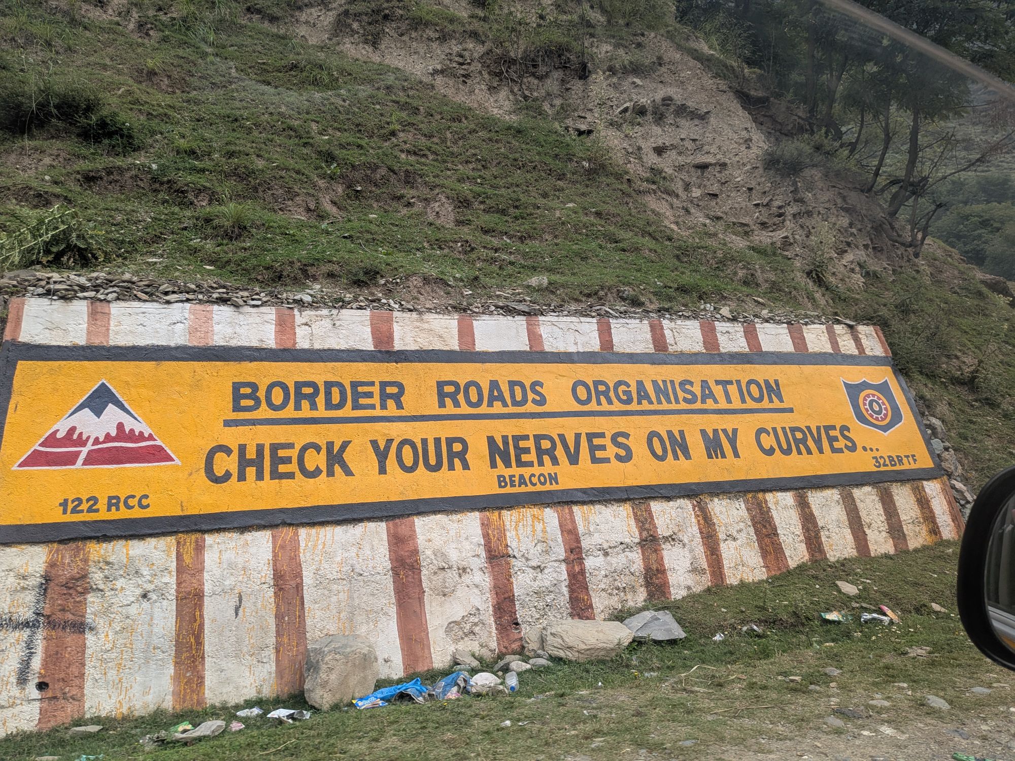
The question remains though, why are the roads in such good condition? It is because the roads belong to the Indian Army, which leads to our next segment.
No escaping the presence of the Indian military
There are 1.4 million active members of the Indian military forces and it feels like 80% of them are stationed in Kashmir and up the valley road. Internet estimates range from 150,000 to 800,000 soldiers in Kashmir and clearly they want decent roads to travel between the many military bases and training grounds. We thank them for their superb investment in the roads which helped our smooth passage to Leh.
There is a military base at every village between Kashmir and Sonamarg and it must be because the Kashmir border between India and Pakistan has been sensitive since 1947 with skirmishes and deaths recorded in 2019 and over 400 Indians killed in the Kargil war in 1999. So the threats may or may not be real but certaintly the cost of inaction – not being in this areas in numbers – could be far worse.
There is another factor: the Amarnath Cave whichis 15km hike from Sonamarg. This is one of the most holy sites in Hinduism as it is where Shiva once told the ‘secret of life and death’ to Goddess Parvati. This means that many Indians travel north to the region to make the pilgrammage to the caves, rapidly increasing the volume of Hindus in the area. The roads are covered with billboards from the Prime Minister Modi wishing visitors a happy ‘yatra’ (pilgrammage) and you can imagine the PR need to keep these people safe.
Some epic geography
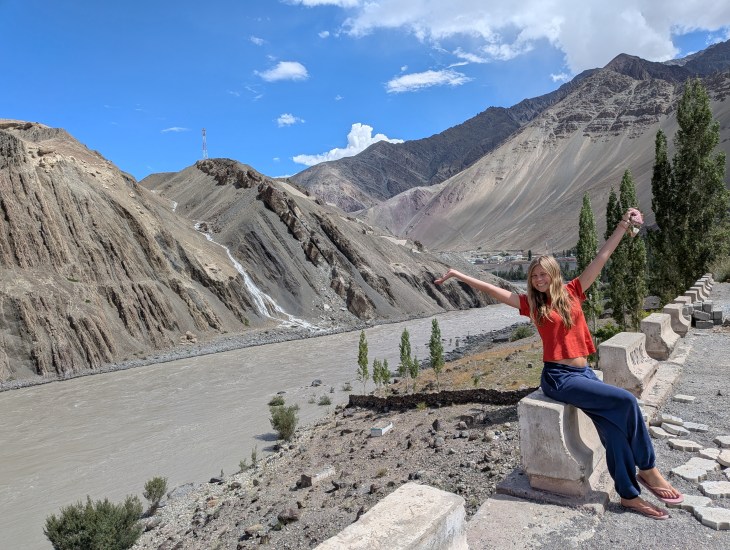
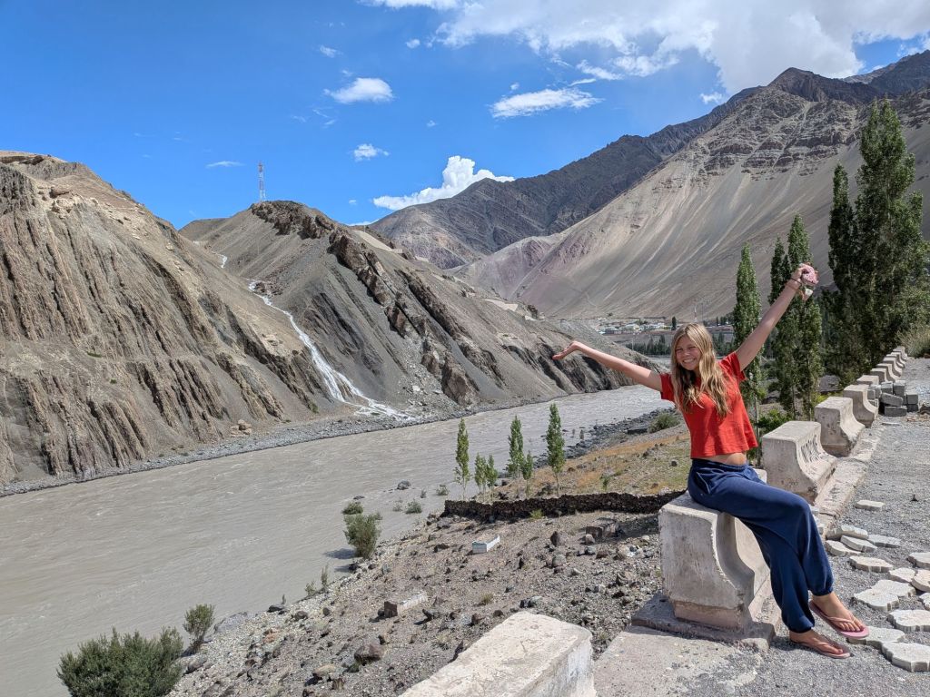
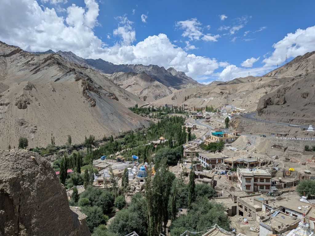
Loyal readers will be asking what’s taken so long? Why not more geo, sooner? Relax, we have pictures below of the natural beauty. The river valleys give that sense of history that it is hard to find back home and around every corner is another range of jagged stoic peaks. In many parts the rock looks like the Atlas Mountains – dry, no trees, unforgiving. In other parts you can see the shale and sandstone which looks soft enough to cut with a knife.
The family are not interested – the girls didn’t even take Geography GCSE FFS. So I point out features to myself and occasionally one of them will remark on the latest widescreen slice of rooftop scenery that we are feasting on.
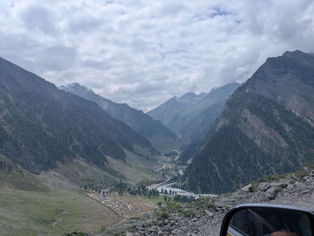
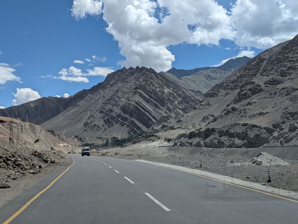
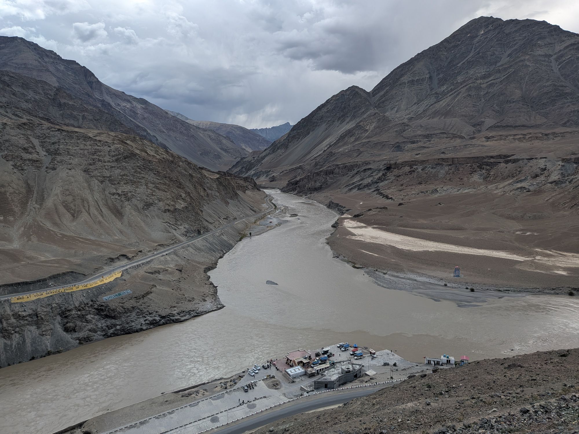
How do people survive in this beautiful-yet-stark environment?
I don’t feel we got a good answer here. Our driver on Day Two (Soweng) talked about subsistence farming in the villages, and the villages tend to be sat upon a good water source where fruit and veg can be grown (to illustrate the roadside hawkers sell us dried apricots – how very Holland and Barret at 3800m above sea level). So human life survives and no doubt there is a bit of a brain drain if/when the family can afford schooling then the children head to the towns for more work. This brain drain is another universal trend, from the Highlands and Islands of Scotland through to the altiplano of Bolivia.
Buddhism brought to life in a magical way
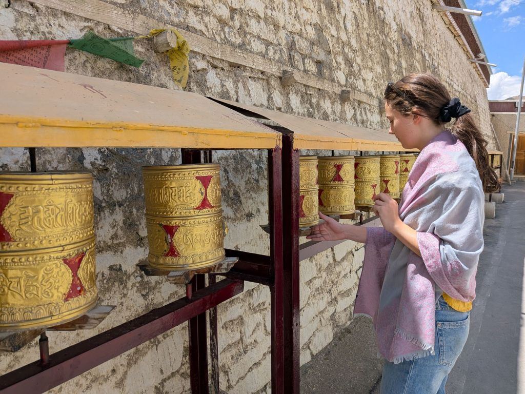
The highlight of the 12 hours in the two cars across two days and 400km is the Lamyaru Monastery. The founding story goes back to around the start of the 11th Century, with 108 gompas built under the orders of the King of Ladakh. Today up to 150 monks live in the monastery and is a well-known tourist stop almost halfway between Kargil and Leh,
We were expecting statues of different Buddhist characters and perhaps ancient prayer wheels and clothing and rooms where monks live and work. Instead we experience something which, however mercenary it may be, was memorable and moving: the central room has perhaps 30 monks chanting and singing in unison. The chords ascend and descend like a spell as us tourists move gingerly around the edge of the small room. It is simultaneously incomprehensible and immediately spiritual. The ancient melts into the imperatives of the present as each of the 10-15 displays around the room has money stuffed onto hooks and into cracks – clearly the 100 rupee entry is not sufficient and you are compelled to stuff your own notes to mark your moment, increase your karma. Which we do.
You are not allowed to take photos of the monks, which is both reasonable and reassuring. Lola saw one (dumb, rude) tourist take photos anyway and one the monks became most upset. Some people.
We leave on a high, uplifted, minds widened, even if we do not understand the different schools of Buddhism or the many teachings and myths. So we are still ignorant but now more receptive to another point of view: isn’t that the point of leaving Oxford? Witnessing the chanting was a perfect moment in time.
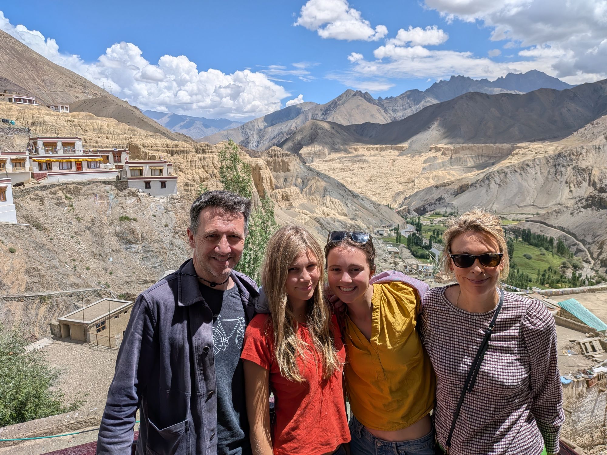


nice geo photos but totally meaningless without a small rock hammer in the foreground for scale
LikeLike